Photos by Pesi Fonua
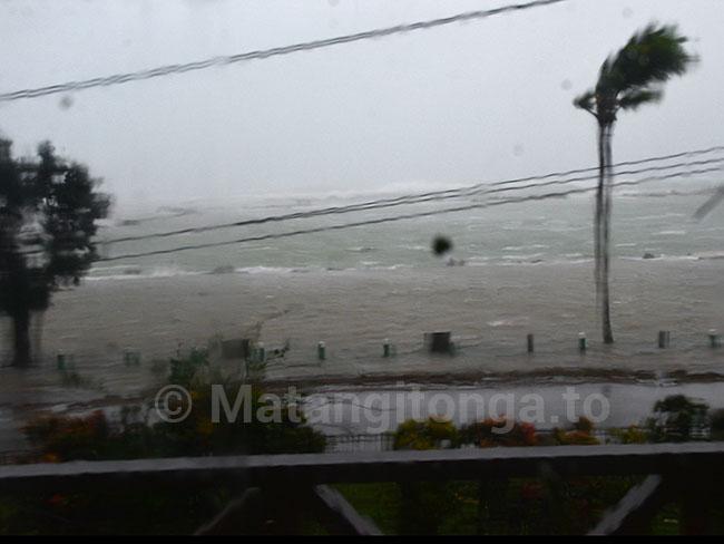
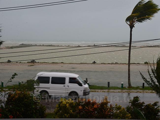
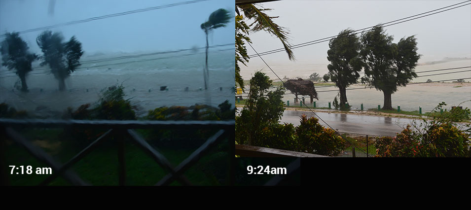
The sea came up over Vuna Road at around 7:18am, at least one hour before the predicted king tide at 8:13 am, as Severe Tropical Cyclone Harold pushed surge into the Nuku'alofa seafront on Thursday morning.
The sea rose rapidly after 7:00am, covering the foreshore and then flooded onto the road. The surge was measured as 85cm on top of the 1.87m king tide.
Near the Navy base large waves were crashing onto the breakwater and spraying the road.

Fortunately, the cyclone was moving away quickly and the tide receded.
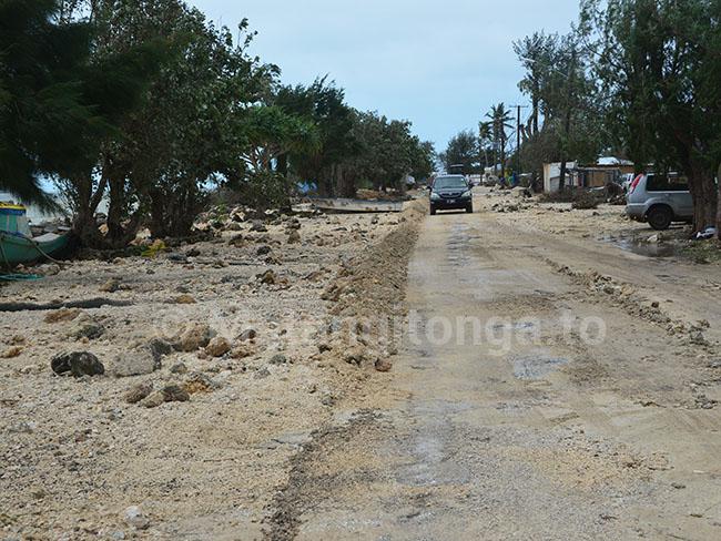
Tonnes of beach gravel were thrown over the breakwater.
View from space
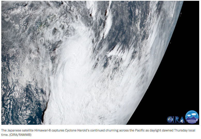
It could have been much worse. Meteorologists looking at imaging from a Japanese weather satellite showed how Tongatapu "dodged a bullet”. The cyclone's screaming eyewall missed Tongatapu as it passed to the south. The storm hitting Tongatapu and 'Eua came from around the outer layers of the system.

The Japanese satellite Himawari-8 captured Severe Tropical Cyclone Harold's passage over Tonga at dawn, on 9 April.
See also, Severe Tropical Cyclone Harold:
Body found at 'Eua, not cyclone victim
Swimming inside the house
TC Harold demolishes Sunset Coast beach resorts
No lives lost during Severe TC Harold
Extreme high tide warning for Tonga as cyclone coincides with king tide and supermoon


