The importance of geospatial intelligence (identifying the features of the geographic location) in humanitarian assistance and disaster relief (HADR) work has been underlined at a course at Devonport Naval Base in Auckland.
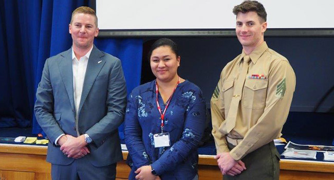
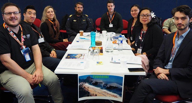
The recent four-day certification course was attended by government and military personnel from New Zealand, Australia, the Cook Islands, Fiji, Samoa, Tonga, Papua New Guinea and Vanuatu. 'Ofa Masiwawa was Tonga's participant.
The course was led by two HADR geo-intelligence specialists from the United States Pacific Command in Hawaii.
New Zealand Army Colonel Andrew Shaw, the Commander of the Deployable Joint Inter-Agency Task Force – a group that co-ordinates the New Zealand Defence Force’s HADR responses – said effective geospatial intelligence was now critical to the success of HADR operations.
“As someone who started his military life in the pre-GPS era, conducting manual survey schemes to accurately place and locate military equipment, I’ve been constantly amazed at the advances technology has offered in my 31 years of service,” Colonel Shaw told course participants.
“I’m a convert of geospatial intelligence and all that GEOINT can offer. This function improves the quality and accuracy of information, which enables faster and better decision making. This is especially important as we face an increasing number of disasters, both natural and man-made.”
He told the participants that geospatial displays and analysis had increasingly pervaded all aspects of every-day life, from Google maps on phones to help navigate to the combined sonar and GPS displays for a favourite fishing spot.
“Or from a military perspective, for example, the ability to fly an unmanned aerial system over an area and film that to produce accurate maps, including an analysis of underwater approaches, with the data being encrypted, stored and transmitted instantly around the globe.
“These are staggering advances on the limitations of paper-based maps. GEOINT is a virtuous circle – we are now able to provide geo-intelligence support to those deploying into disaster areas and receive from them relevant data in return. This allows further analysis and the provision of enhanced geo-intelligence support back to the HADR operation.
““The secret is to get the right information to the right person at the right time and in the right format to enhance decision making. This greatly enhances our ability to save lives and provide assistance to those in need.”
The course was hosted by GEOINT (GNZ) based at Devonport.
Topics included natural and man-made disasters, imagery and geo-intelligence to support disaster assessment and relief operations, commercial data sources, local and regional operating procedures and standards, damage assessment and estimation techniques, geo-intelligence data and predictive methods, organisations and expert sources, and participant experiences.