Monitoring of land use through Earth observations and satellite imagery data, will help governments in the Pacific Islands better manage their limited resources.
Now the Pacific Community (SPC) is supporting the development of the technical skills needed by governments to collect data from remote sensing and to interpret it.
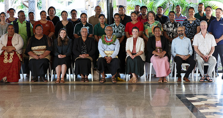
Tonga is hosting the first techncal workshop on “Digital Earth Pacific Land Cover Assessment Skills Transfer (DEP LCAST), organised by the SPC, which commenced today, 24 July 2023 at the Tanoa Dateline Hotel in Nuku'alofa.
Mr Sachindra Singh, SPC Team Leader for the project, said: “SPC is honoured to conduct its first Digital Earth Pacific national workshop in the Kingdom of Tonga, and see Tonga and its leadership championing adoption of earth observation technologies and digital transformation in general across the region.”
“Better data and information are needed to ensure effective decision making to drive policy actions across these areas, especially against the existential threat that climate change poses to our nation and the region.”
“Earth observation data is a unique source of reliable and measurable information that can help the Pacific people assess, mitigate and prevent negative outcomes (such as impact of disasters, rising sea temperatures, challenges around food and water security) as well as explore new opportunities for social and economic development through improved efficiencies,” he said.
He noted that Earth observation technologies that utilise the global satellite network have only recently become available for large-scale open use, and this expanding sector is producing significant financial benefits.
Tonga's needs assessment
The workshop was arranged to address some specific outcomes that were addressed in the Needs Assessment Report by representatives of the Tonga Government, held in Tongatapu on 11 August 2021.
One of the needs identified by the relevant stakeholders in Tonga, was the need to monitor land cover and land use changes, deforestation, mineral resources and other key changes that might have implications for water security, food security, economic activity and disaster risk reduction.
Mr Solomone Fifita, Programme Manager, Pacific Center for Renewable Energy and Energy Efficiency (PCREEE) said, "Tonga is proud, and the only nation in the Pacific, to be a member of the Group of Earth Observations, which consists of membership across 114 countries across the globe."
The training will help to address the data and capacity shortages in using remote sensing datasets for better resource management.
The make-up of the meeting is also to maximise country-input through group discussions and a fieldwork data collection component for calibration and validation of the land cover assessment monitoring.
SPC views this as essential for longer-term planning and is also of considerable assistance to other agencies, regional NGOs and donors interested in national as well as regional land cover and land use change (LULC) issues.


