Photos courtesy RNZAF.

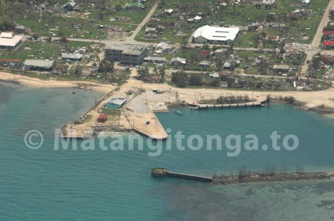
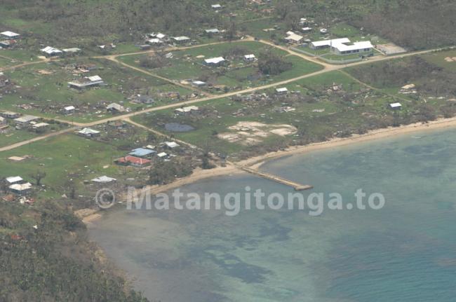
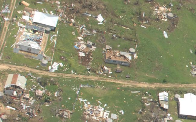
The remains of the Ferry Terminal surrounded by shattered homes at Pangai, Lifuka, Ha‘apai. Photos courtesy RNZAF. 12 January 2014.
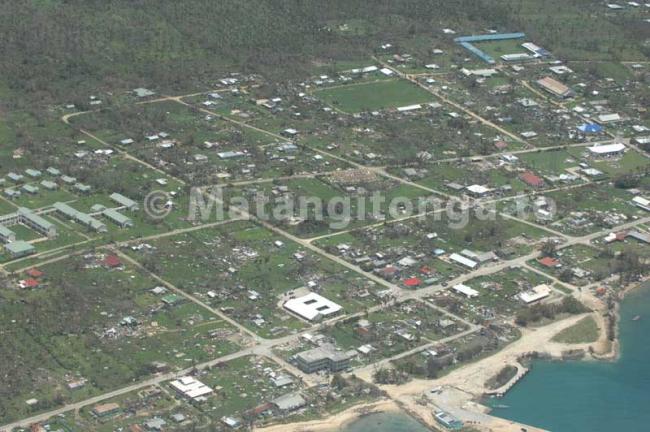
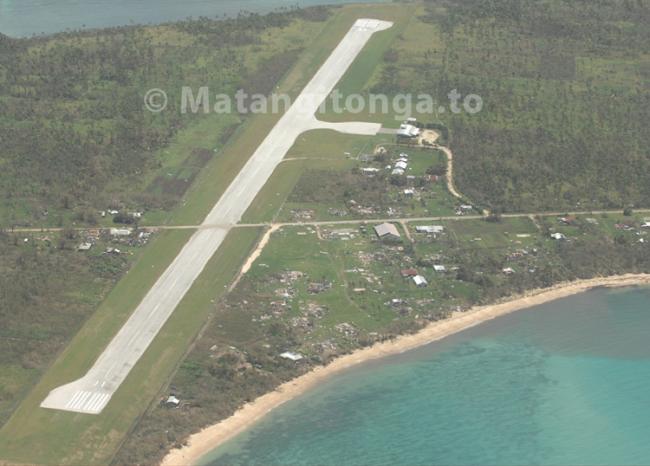
An RNZAF Orion has completed an aerial survey of the Ha‘apai islands in a fly over this afternoon, after Category 5 Tropical Cyclone Ian ripped into the low-lying central group of Tonga yesterday afternoon.
Tonga's National Emergency Management Office is studying the imagery tonight and it is expected that the Tonga government will release a statement of damage assessment tomorrow.
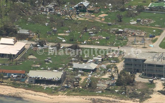
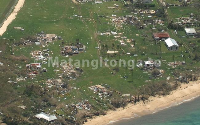
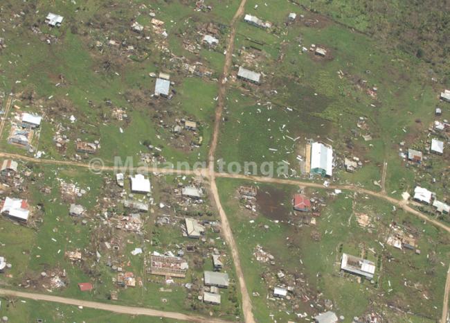
The images show shocking damage to an estimated 70% of homes on Lifuka, Foa and other areas.
No images have been released yet of Mo‘unga‘one, thought to be the worst hit outlying island, that was close to the path of the eye, where only two homes are left standing out of a village of 40 homes, another three homes are said to be partially standing, according to one unofficial assessment of the aerial surveillance.
One woman on LIfuka died from an injury received in the cyclone, and her funeral was held today, the Tonga Red Cross has reported.
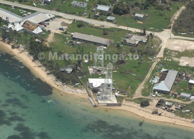
Communications remain limited with only two satellite phones on Lifuka known to be in operation, after the cyclone knocked out communications towers. Telecommunications technicians were unable to leave on a planned charter flight today from Fua‘amotu late this afteroon. It is expected that the airstrip in Lifuka will be cleared for flights to land tomorrow.