Editor,
Monūafe was one of the little islands north of Tongatapu, between Makahaʻa and ʻOnevai. The oldest photograph I have of it is from 2002 when the island still was a few hundred meters in size. But most likely, if the current borders of the reef are any indication, in former times the island was maybe 10 times larger. At very low tide the sandy banks around it fell dry, revealing its former glory. The Tuʻitongas are known to have used the island as a holiday retreat
Monuafe in 2002
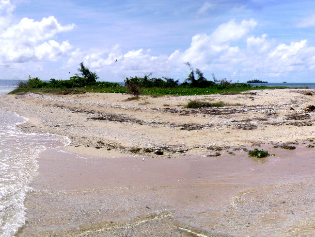
Monuafe 2009
Monuafe 2009
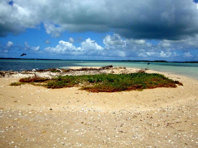
Up to 2009 not much changed, The island did become smaller every year, the waves of the sea continuously nibbling at it, but it was at a slow rate.
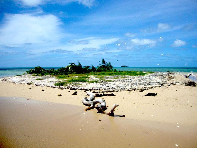
However by the end of the previous decade the erosion suddenly picked up. On a 2009 photograph it is clearly to see how the waves are rinsing the sand and soil away, leaving dying roots exposed. By 2010 the island had become much smaller. In December 2011 smaller still. By March 2012 almost nothing was left over, and somewhere during the last month, the island has disappeared forever.
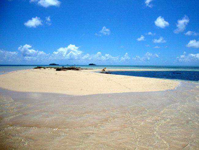
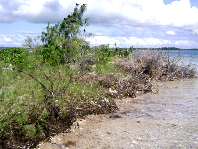
The November 2012 photograph shows only some waves unexpectedly breaking when they travel over ankle deep water at high tide. During low tide a sandbank still emerges, but for how long ?
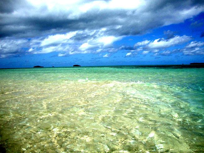
All photographs are taken from the south with the both Velitoa islands in the background, except the 2 detail photographs which are from the north, showing Tongatapu in the background.
Who or what did it? That is difficult to say. The forces of nature are complex and not fully understood by us. Monūafe is not the only island which is lost. Old traditional songs name a few more islands which nowadays do no longer exist.
Hurricanes? I do not think so. Even though a hurricane may do more damage than a gentle wave, a hurricane is only once in a while, while the waves are eating every day. What hurricanes do is stripping the island bare of its vegetation, which is the reason for its barren view in 2010 and also in 2002. In fact the height of the trees on the island was directly related to how long ago the last hurricane had passed along.
Sea level rise? Maybe. But this rise is supposed to be underway for several decennia now, so that does not explain the sudden increase in erosion of the last few years.
Sand mining? I think that is the one. But then maybe I am wrong. Whatever the case, it is true that sand mining has started about 10 years ago. It seems innocent to take sand from the bottom of the sea, but the holes left may change the pattern of the sea currents. And when the sea currents change, erosion patterns change. Places which were subject to erosion in former times are no longer so (but already been eroded in the past, there is nothing to show that that is the case), while those which were not, now are.
So which islands will be next? Fafā? Pangaimotu? Big Mama finds itself undercut more and more over the years. But Manima and ʻOneata also are not looking too healthy, and likewise the lighthouse of Malinoa to the north, once safely many meters away from the shoreline, has toppled a few years ago. Some islands, such as the both Velitoa are safer, because they have barely any beach (maybe they had in the past?), only the sturdy coral rock has been left.
Firitia Velt,
Fasi & Afi